Excavators & ground disturbers
Hitting a gas line, power cable, or water main can injure people, stop a job, and create repair and liability costs. Locating first gives crews a reliable picture of what’s buried.
Know what’s below
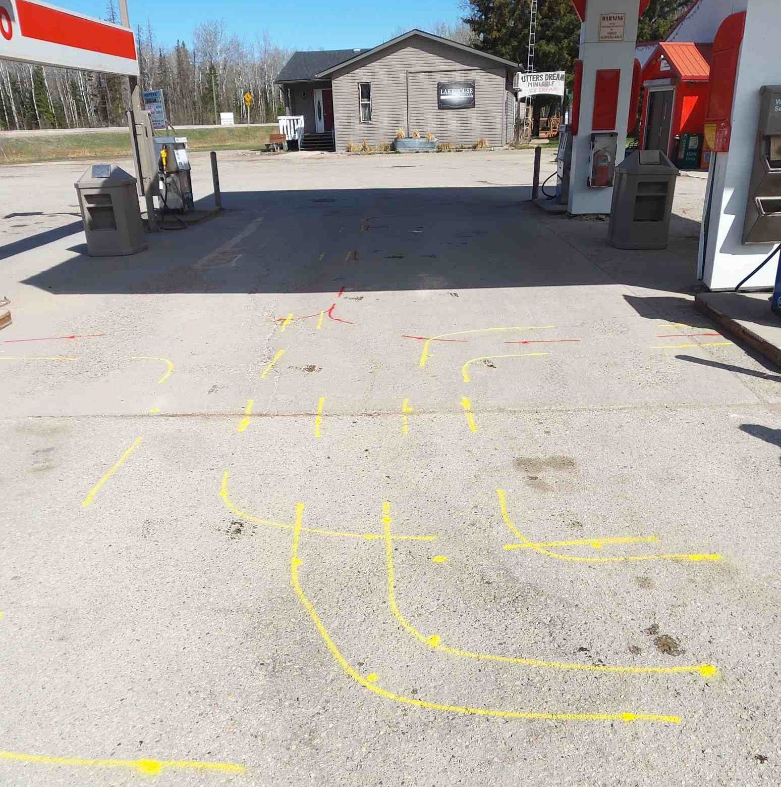
Trained technicians use electromagnetic locating equipment to find buried pipes and cables before digging starts—then mark them on the surface and, when you need a record, map them.
EM locating
We locate private and public utilities and mark them on the surface so you can avoid striking lines. Electromagnetic locating is the primary method for conductive services. Ground penetrating radar is used when you also need non-metallic utilities, underground storage tanks, voids, or unexpected buried objects that other methods can miss.
That combination matters on real sites: plastic water, old foundations, a tank nobody put on the as-built, a duct bank that only shows up when you look with more than one tool. The point is a more complete picture before the bucket goes in—not a single-method checkbox.
Before the excavator
A gas line, power cable, or water main is not an abstract risk. It injures people, stops a job, and creates repair and liability costs that nobody scheduled. Locating first gives crews a picture of what’s buried—paint they can see, and maps they can keep.
We work for excavators and ground disturbers, homeowners putting in a fence or a pool, and property managers coordinating work across more than one site. Same method. Same courtesy: mark it clearly, explain what we found, and don’t pretend we saw something we didn’t.
Take-home maps
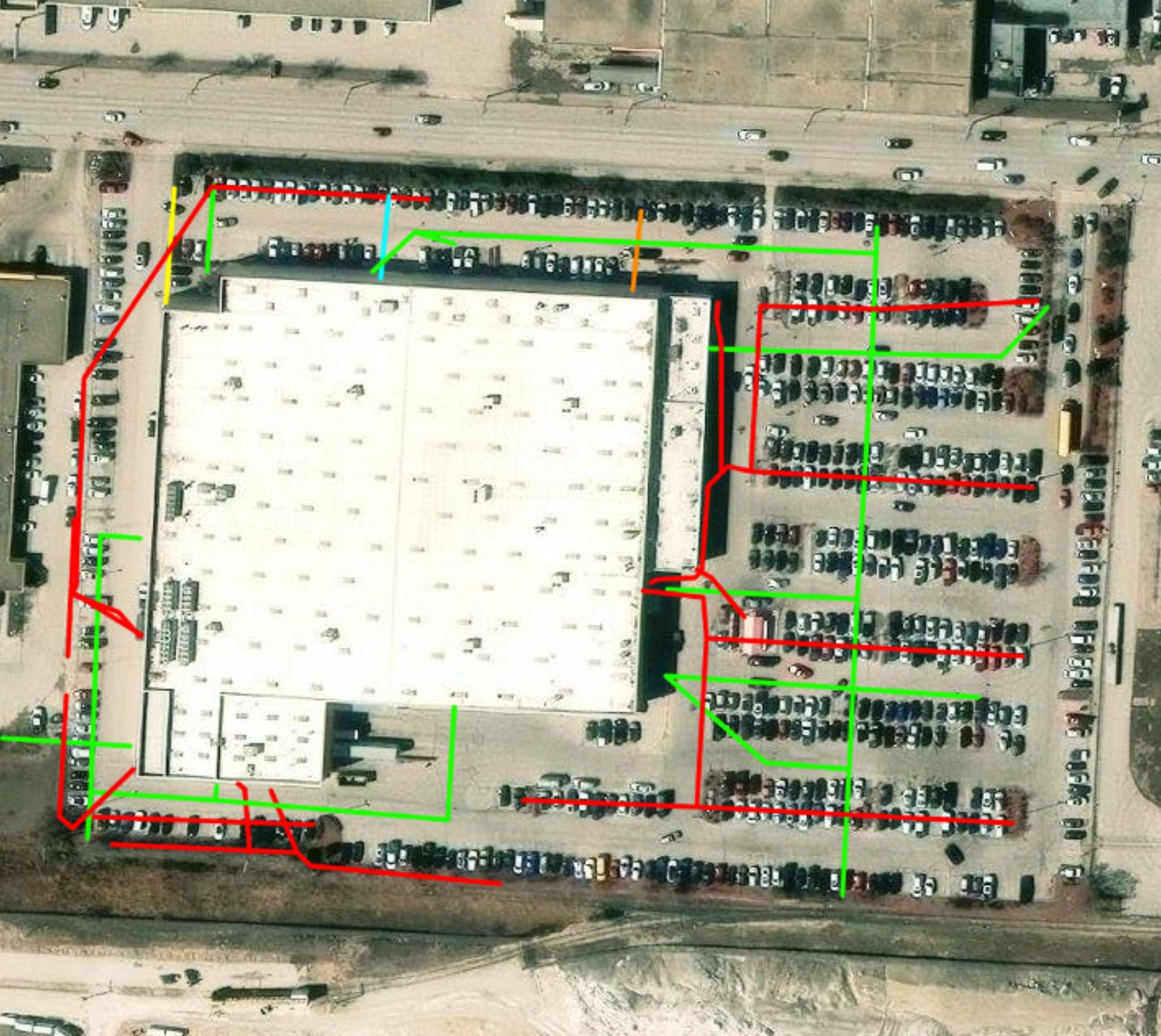
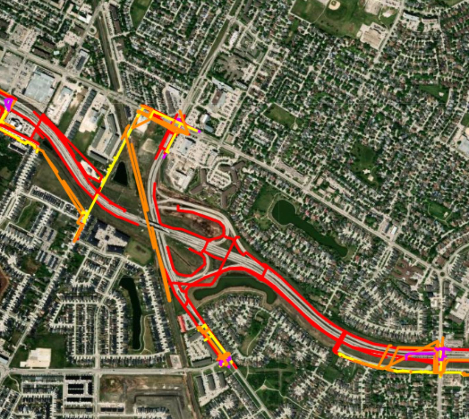
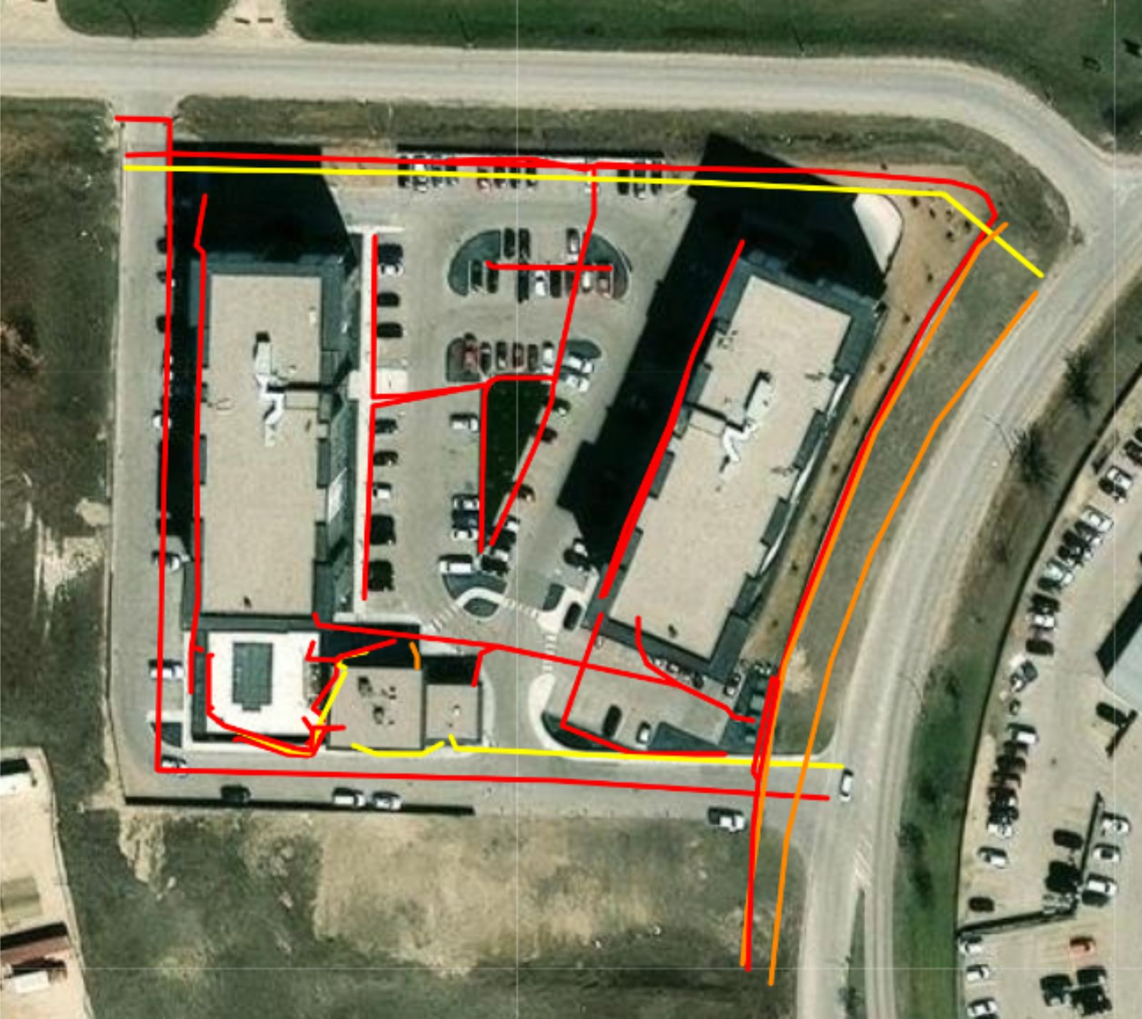
We produce professional utility maps using GNSS satellite positioning and mapping software. You receive submeter-accurate digital and printed maps that show the path of each pipe and cable we locate. Keep them for planning, permitting, future maintenance, and the next crew on the site.
Paint fades. Tickets expire. A map in the project folder is how the locate still helps six months later. If you also need Call Before You Dig coordination and private sweeps in the same package, look at locate management.
Hitting a gas line, power cable, or water main can injure people, stop a job, and create repair and liability costs. Locating first gives crews a reliable picture of what’s buried.
Renovations, landscaping, fences, and pools all involve digging. We identify buried utilities on the property before work starts.
Whether you are coordinating repairs, landscaping, or new installations, locating reduces the chance of service disruptions and damaged assets across a portfolio of sites.
Map gallery
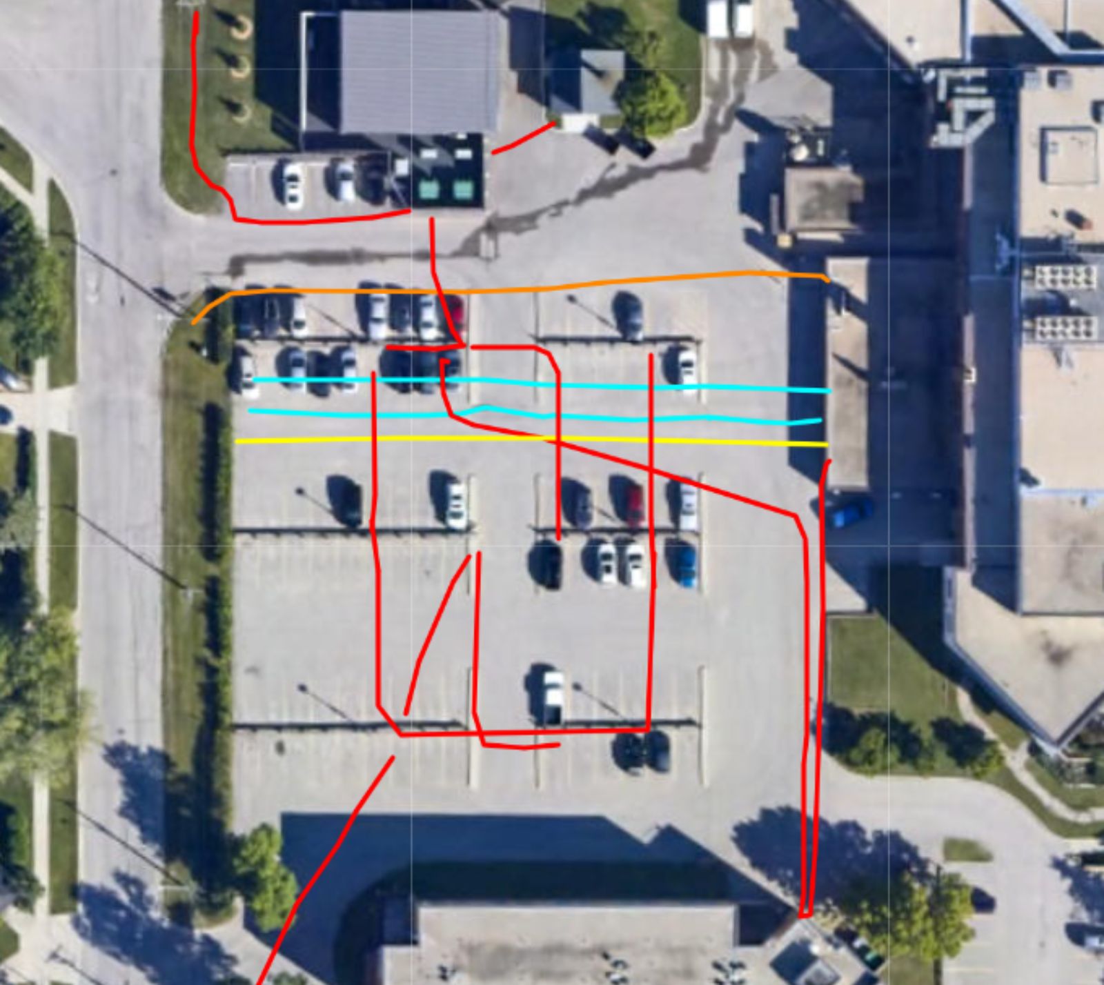
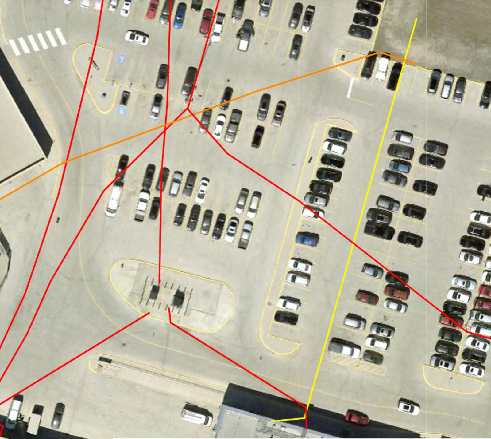
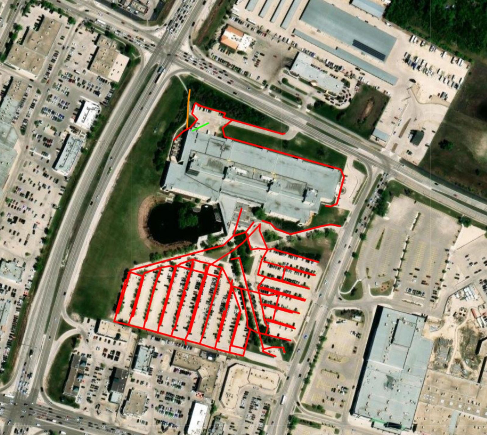
Colour-coded paths over aerials—parking lots, building perimeters, and larger corridors. These are Structure Scan deliverables, not stock diagrams.
Call the Winnipeg office or send a note. We’ll help you pick the right service—no jargon wall, just a clear next step.